Auke Bay - Water, Rock, and Sky - (July-September 2021)
&layout=none&ref=https://bobeastaughimagery.zenfolio.com/blog/2022/5/auke-bay----in-the-zone----auke-bay-july-september-2021)
If a big, very big, glass dome about five miles in diameter, like the top half of a giant globe, were to descend slowly over Auke Bay, it would encompass the entire bay, its rocky beaches, docks, and shoals, its surrounding hillsides and mountains, and the islands and reefs that separate and largely protect it from Lynn Canal's occasional whims. It would be an extraordinary terrarium, capturing everything from water level to the high atmosphere for detailed study. An observer standing within this imaginary terrarium would be struck by how large it seems to be, from water level to straight up, far above, and requiring rotation side to side to get a notion of what is included. But in reality, a half globe five miles across is not huge; it would seem large only because the observer would inevitably recognize the vast range and scope of included subjects as well as how tiny and inconsequential the observer is relative to all the surrounding elements.
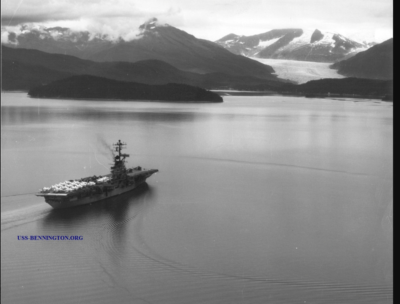
Auke Bay itself is simply a deep harbor surrounded by mountains, rock, reefs, uncertain weather, and a lot more navigational aids than there used to be. Its personality ranges from magnificent to claustrophobic, depending mainly on cloud cover and fog, and whether the sun is visible or might be trying to make an appearance. Even if the observer stands on dry land, the bay's waters, sometimes placid, sometimes agitated, are constant companions, happily benign and then wickedly rough. The face of Mendenhall Glacier is currently about five miles away from the bay's shore-side edge. The harbor is big, big enough to hold big ships (CV20, the USS Bennington, an Essex-class carrier 872 feet long with a complement of 2,600, visited and anchored here in 1963) and thus also big enough to brew up if the weather freshens, despite several protective islands. It ranges from deep to shallow; rock underlies the shallow parts. The applicable NOAA chart is 17315: https://www.charts.noaa.gov/PDFs/17315.pdf.
The inevitable result of standing inside the imaginary terrarium is a rich choice of photographic opportunities, depending, of course, on how much an observer enjoys the countless ways light and clouds and islands and mountain shapes can interact. This interaction can certainly be moody, in a good way. Grayscale gets a workout. It is a constant play between water, rock, and sky, and thus between the fundamental physical states, liquid, solid, and gaseous.
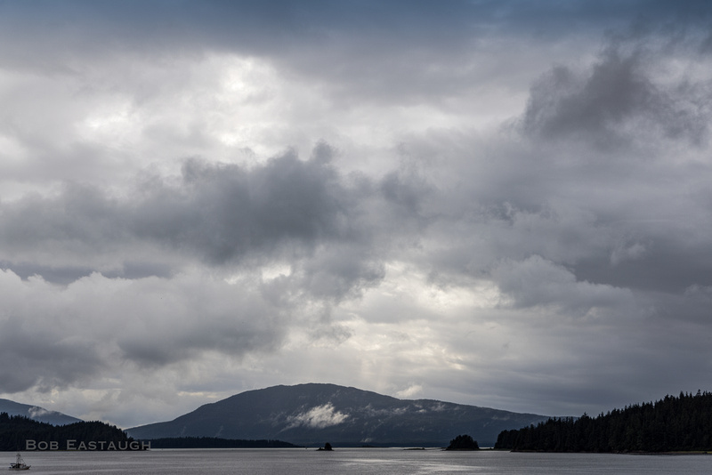
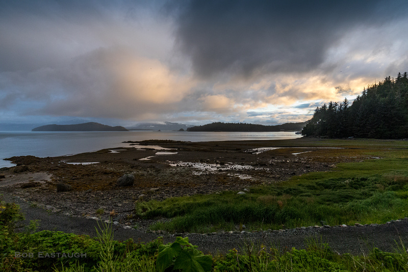
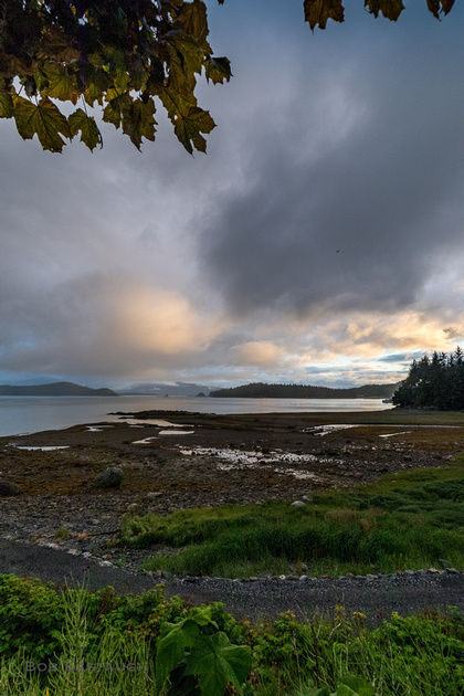
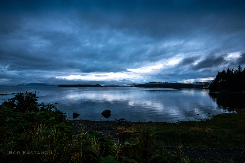
Many of these photos were taken at low tide, and most of the reefs shown here are hidden at higher tides. Tidal range is typically about 15 feet, but can often be 24. Many cans and buoys and dolphins now mark shoals and rocks that previously lurked unsuspected by inexperienced mariners.

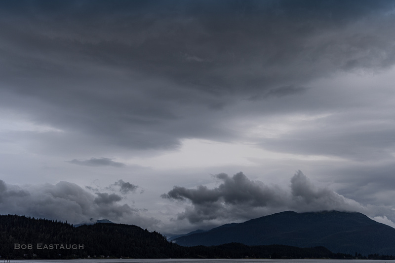
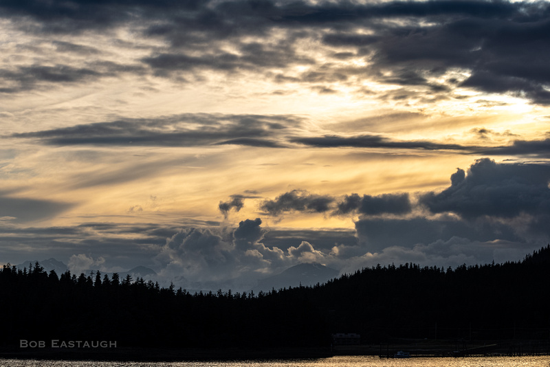
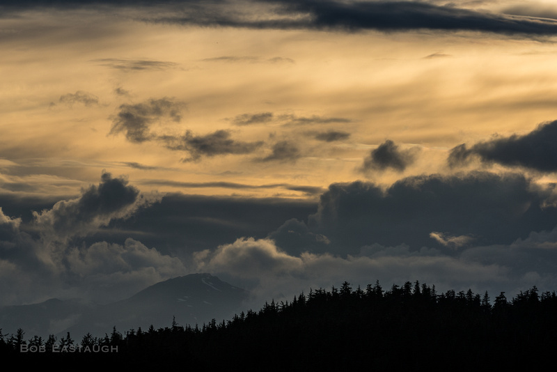
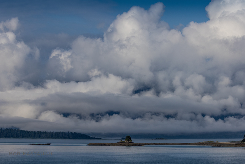
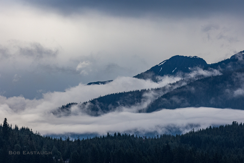
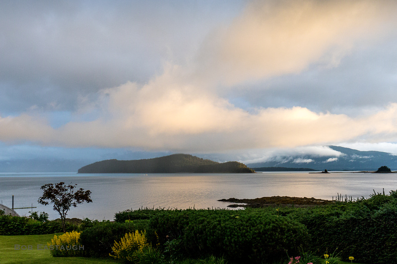
Eventually the clouds lift and break up, and brighter patches or shafts appear. Sometimes it is reassuring to see that it seems to be brighter not too far away.
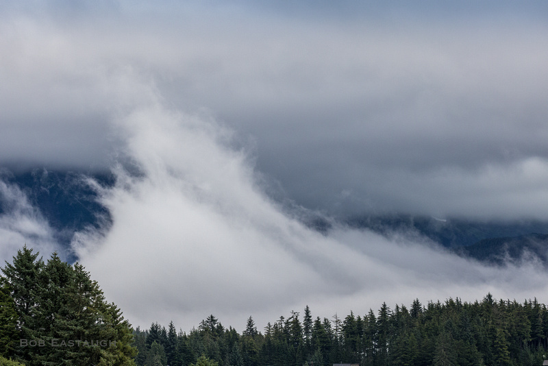
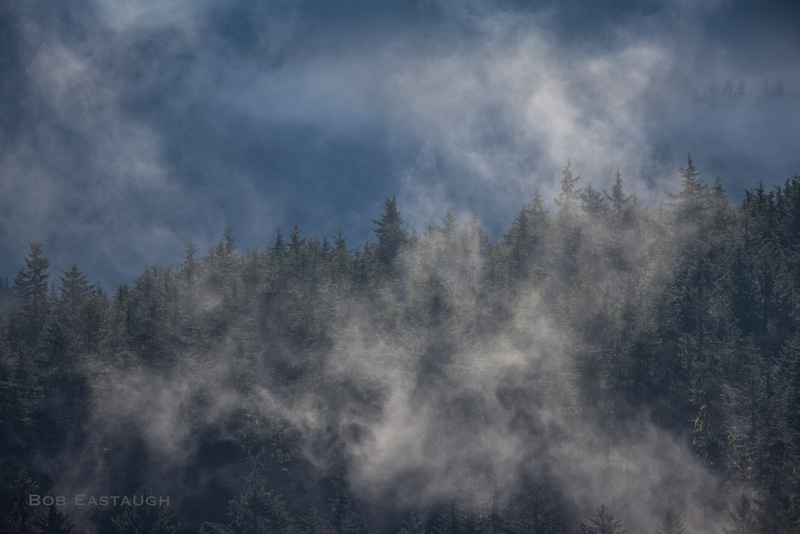
Breeze draws moisture out of wet grasses and trees.
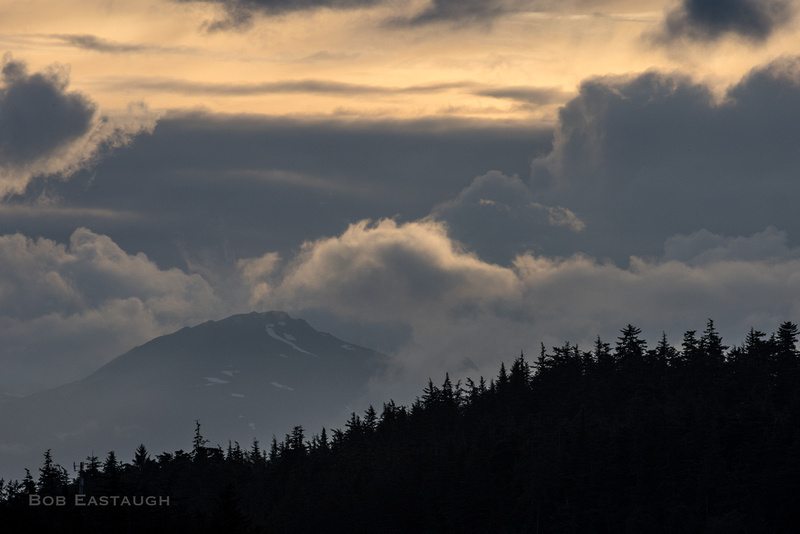
Evening brings glimpses of late sun.
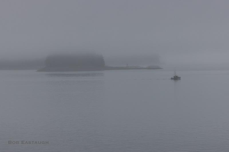
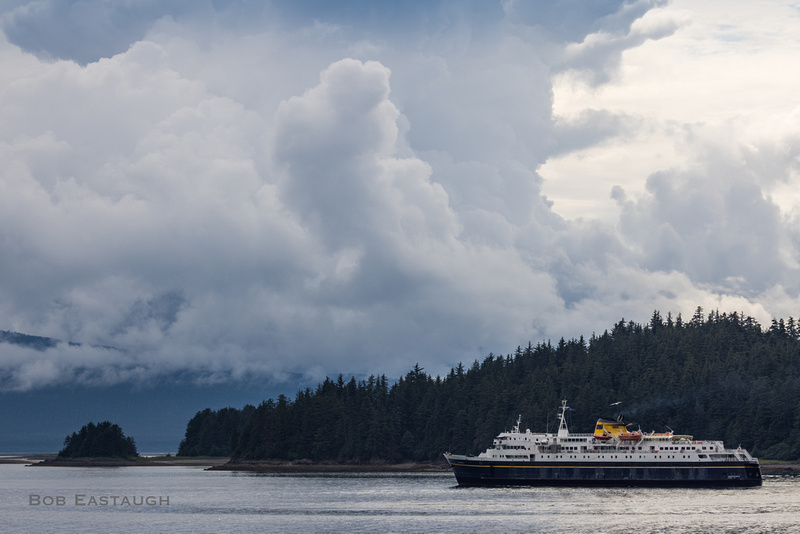
Boaters zip between islands and through passages now marked by navigational aids.
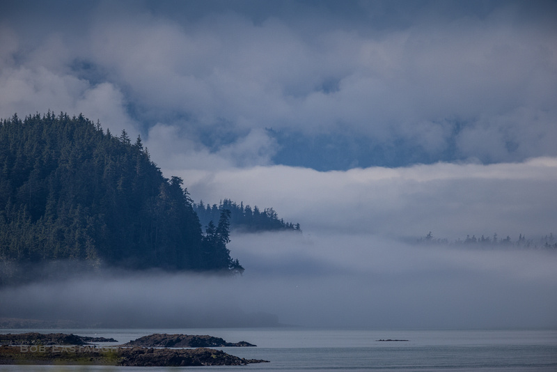
It is barely visible near the edge of the photo, but a faint dark line left of the little island is a reef, close to the usual traffic that squeezes between the mainland and Coghlan Island.
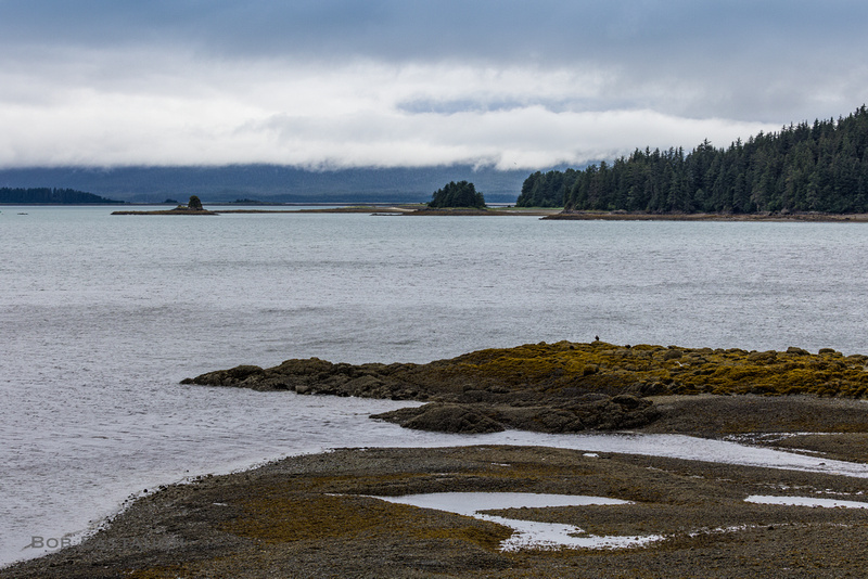
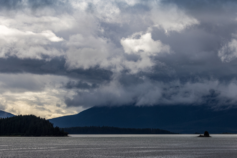
Across the bay, nearer Fritz Cove, are mists, fog, and more reefs, like ocean crocodiles looking for the unwary.
Animated by sun, mist rises from a ridge.
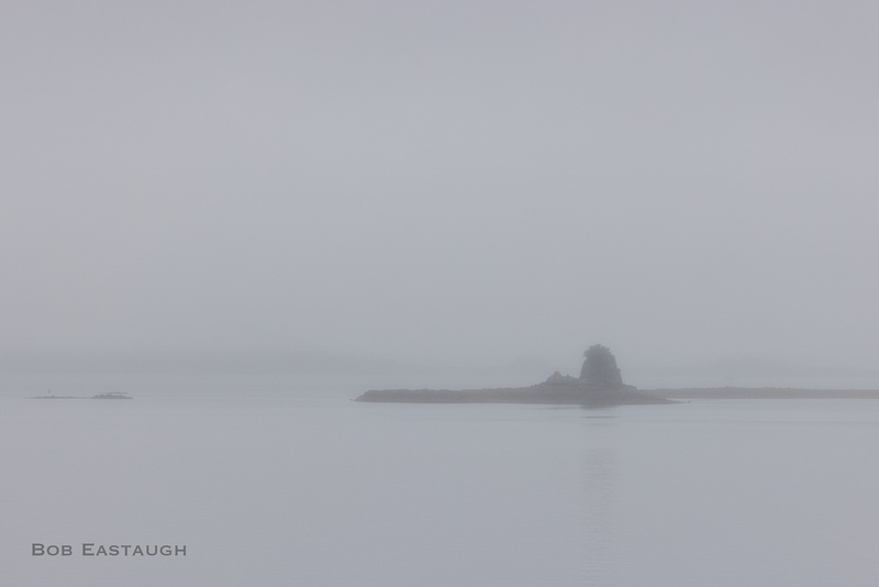
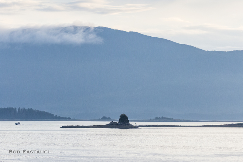
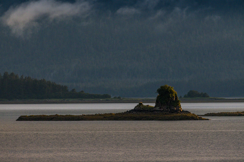
In better light, at an even lower tide, much more of the little reef is visible. It is covered by one to three feet of water at typical high tides.
The terrarium includes the Mendenhall Peninsula. A Cessna climbs out from the airport. Douglas Island is behind. Mist and clouds nestle in its valleys.
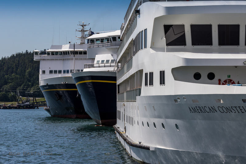
Alaska Marine Highway ferries dock in Auke Bay. The Matanuska, one of the original three main-line boats, sets out.
The Kennicott at dock, while one of the new ferries awaits commissioning.
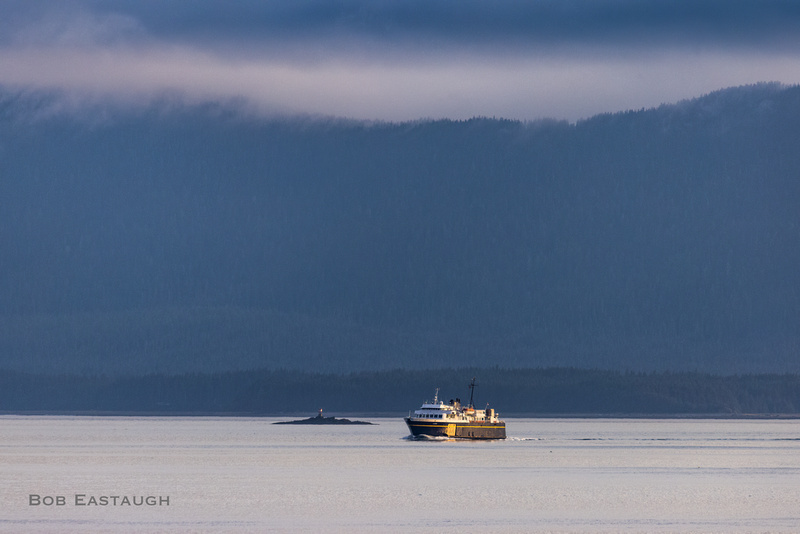
The LeConte, entering Auke Bay from Lynn Canal, passes between Gibby Rock and Coghlan Island, out of sight to the right of the photo. The LeConte is just entering the imaginary terrarium.
Below: CV20 USS Bennington approaches Auke Bay in August 1963; its port side will pass Coghlan Island, one of the islands protecting the bay from Lynn Canal weather. Mendenhall Glacier is ahead.
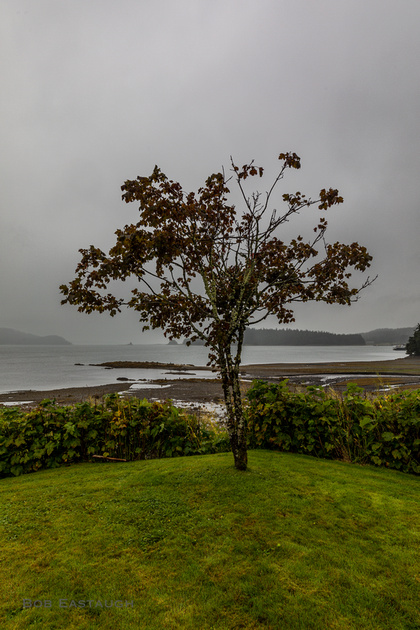
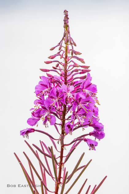
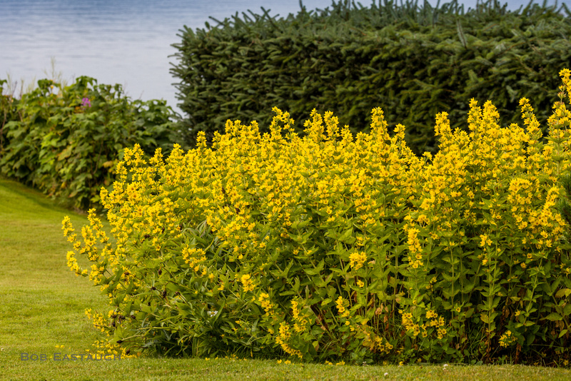
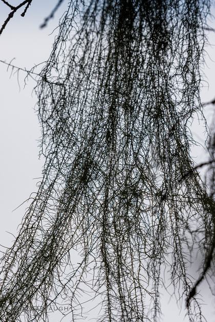
Dry land distractions are more down-to-earth: fireweed overlooking the bay, a hedge and garden, and moss hanging from spruce trees.
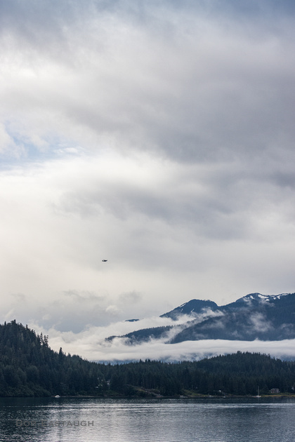
In-bound boat. The distant mountains are on Admiralty Island and overlook Lynn Canal.

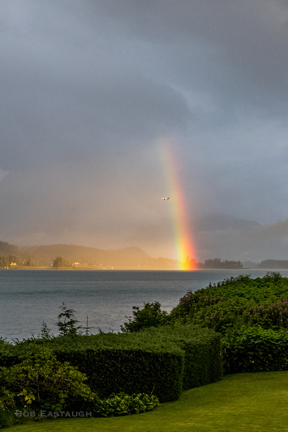
An Alaska Airlines 737 on final approach flies beneath a rainbow.
Placid now, a calm evening. For a change, the clouds and mists are elsewhere.
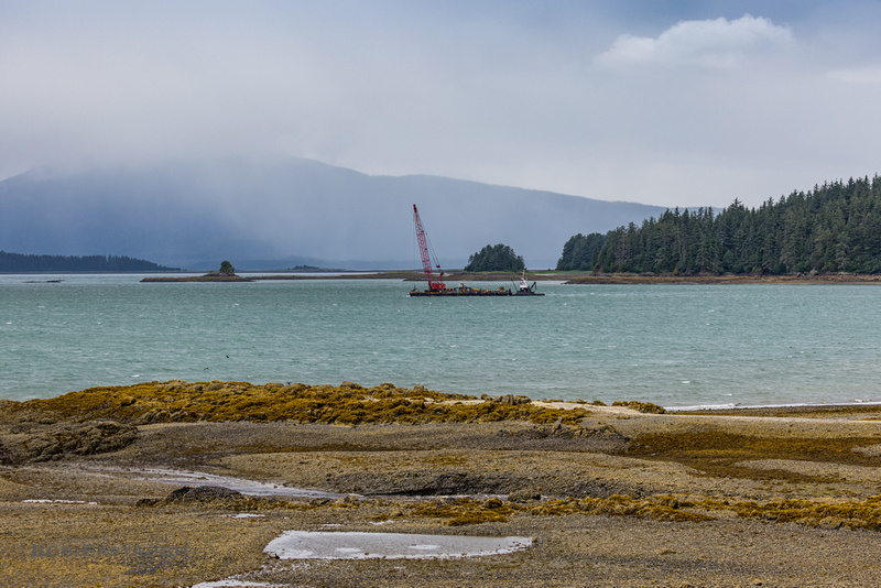
But things never stay the same. The water is green and the wind blustery as a work barge sets out. Even in this little arm of the bay there are whitecaps.
A long lens (700mm) compresses the view toward Lynn Canal at low tide. In front are the seaweed beaches of the closest little island, half a mile to the inside of our imaginary terrarium. Above lies the dark line of Portland Island; its beaches stretch far out into the canal; its reef extends even farther, much of it just under the surface, its extent marked by a dolphin shockingly distant from the visible beach. The hills behind are on Admiralty Island.
Comments
After a lifetime of mainly expressing myself with words, my postings here will mainly rely on images. They will speak for themselves to some extent, but I'll usually add a few comments of explanation. I've taken photographs for decades, since the 1950's, inspired in part by my father's photographic skill. Four years of photo assignments and quality darkroom time eventually gave way to decades of casual and family picture-taking. I re-immersed myself when I left film and turned to digital.